
How we Fared in the Flood
Vermont has been in the news lately and not for a great reason. Our county has seen worse flooding than during hurricane Irene and many towns and farms have been hard hit.
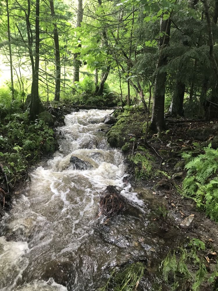
We are fortunate enough to be a hillside farm, so while we have seen minor washouts and truly impressive volumes of moving water, our animals, plants and home are safe. Here's what is normally a small creek on the farm.

Even though we've escaped the worst of the flooding, we are dealing with saturated soil in our pastures, which means making mud pits is a real danger. It can be difficult for the pasture grasses to recover from being churned up into mud from vehicle tires or cow hooves.
One positive I took away from this was finding a great new resource for tracking water levels. It turns out NOAA does more than predict the weather, it tracks and predicts river behavior as well. Here's the link for the river that was causing us the most trouble lately: https://water.weather.gov/ahps2/hydrograph.php?gage=jonv1&wfo=btv
The Lamoille crested at 21ft on July 11th, which was the second highest crest ever recorded, the highest being 27ft back in 1927! The river is now back in its banks but there is a lot of recovery to be done.